


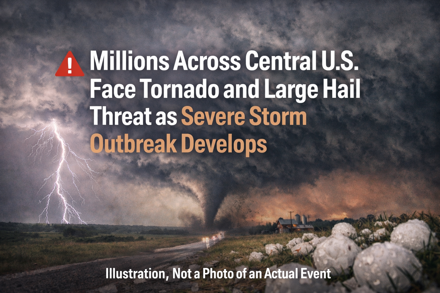
Meteorologists warn that a volatile mix of warm Gulf moisture colliding with cooler Canadian air is fueling a multi‑day severe storm pattern across the nation’s midsection.
The highest‑risk corridor stretches from Texas through Oklahoma and Kansas into Missouri, where more than 6 million people are in the elevated threat zone for large hail, damaging winds, and strong tornadoes.
Forecast models indicate rotating supercell thunderstorms may form along a dryline and cold front, potentially producing EF2‑strength tornadoes, hail as large as baseballs, and wind gusts above 60 mph.
The severe‑weather risk is expected to extend into parts of the Midwest and Mississippi Valley, potentially affecting cities including Dallas, Oklahoma City, Kansas City, St. Louis, Omaha, and Chicago later today and tonight.
Local emergency managers are urging residents to monitor warnings and ensure they have multiple ways to receive weather alerts, especially as the system coincides with the beginning of peak tornado season in parts of the Plains and Midwest.


Comments (0)
No comments yet. Share the first perspective.
Sign in with a listener account to add a comment.